6.8. Mobile Support Extension
Starting from version 1.6.0, the 3DCityDB-Web-Map-Client is equipped with an extension that provides better support for mobile devices. The extension comes with a built-in mobile detector, which can automatically detect and adjust the client’s behaviors accordingly to whether the 3D web client is operating on a mobile device. The extension has been tested on several smartphones and tablets running Android and iOS.
Some of the most important mobile features enabled by this extension are listed as follows:
6.8.1. A more lightweight graphical user interface
In order to make the best use of the limited screen real-estate available on mobile devices, some elements are removed or hidden from the web client, such as credit texts and logos, as well as some of Cesium’s built-in navigation controls that can easily be manipulated using touch gestures (see Fig. 6.28).
The main toolbox now scales to fit to the screen size. In case of excess lines/length, the toolbox becomes scrollable (see Fig. 6.29).
The infobox displayed when a city object (e.g. building) is clicked is now displayed in fullscreen with scrollable contents, as illustrated in Fig. 6.30 below.
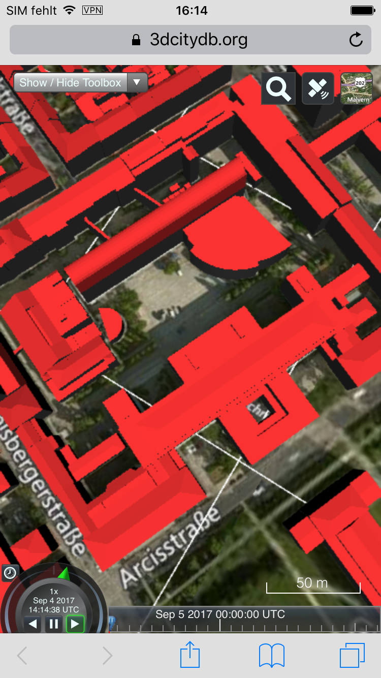
Fig. 6.28 The 3DCityDB Web Map Client on mobile devices
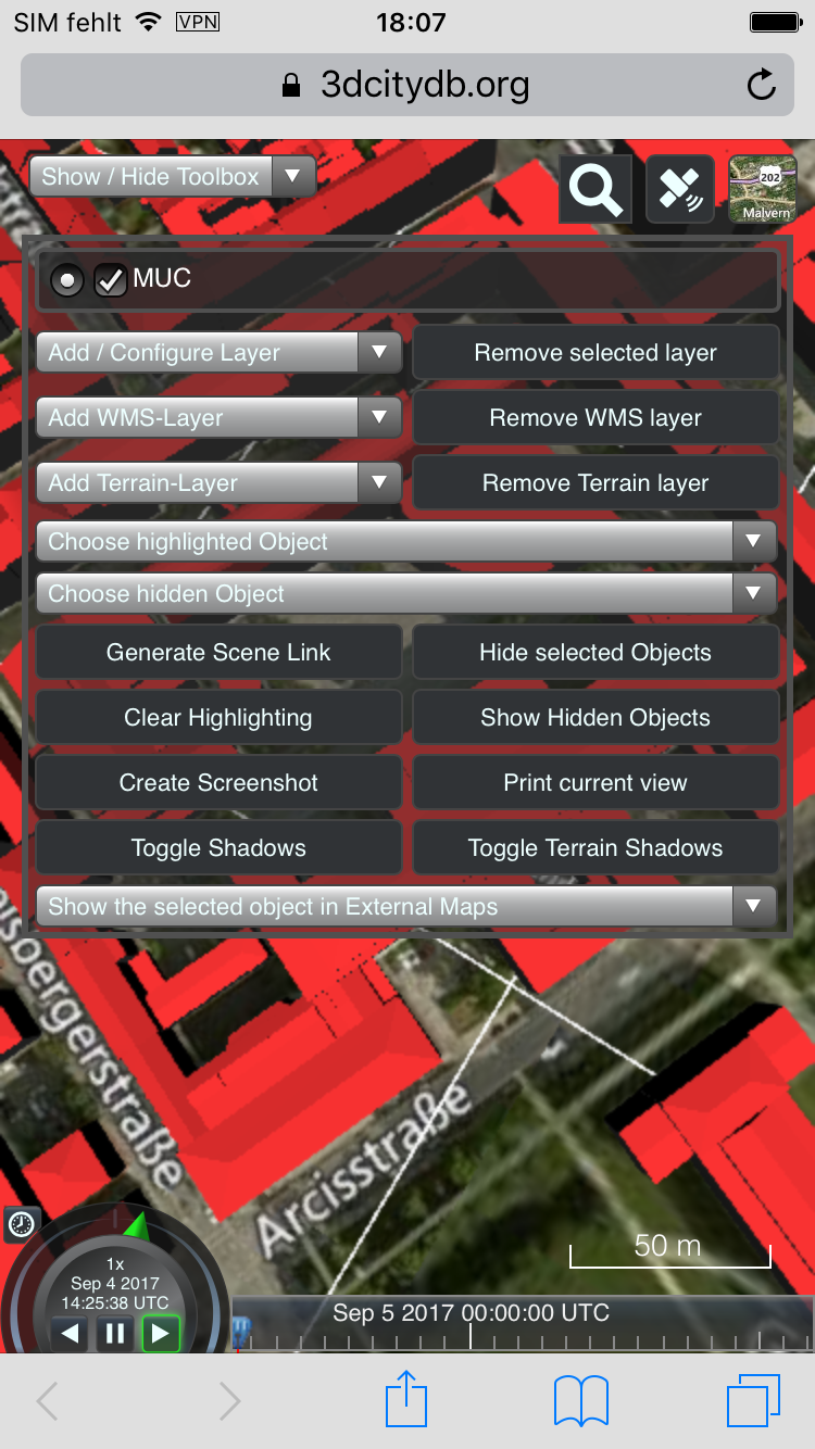
Fig. 6.29 The main toolbox on mobile devices
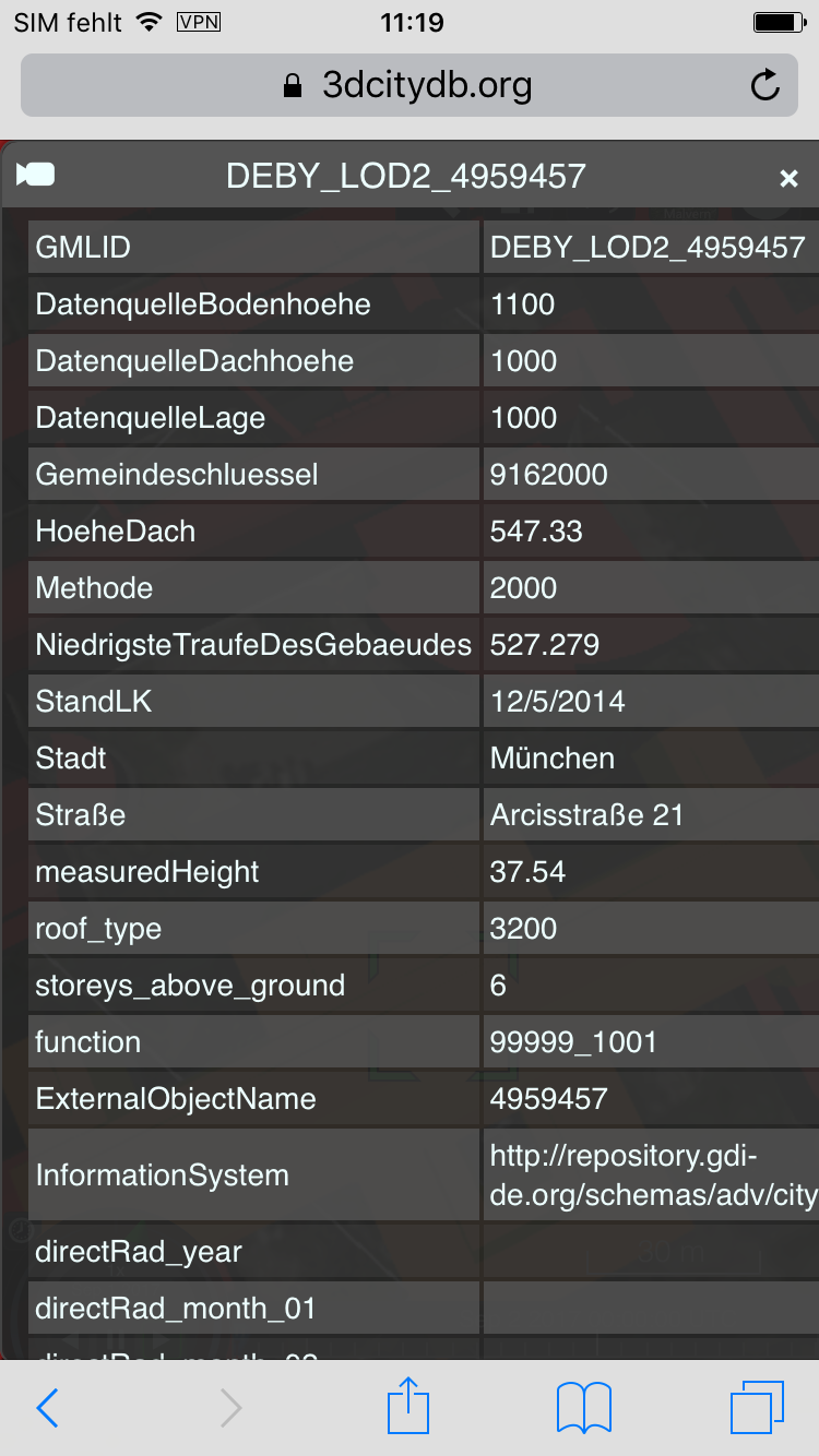
Fig. 6.30 The infobox on mobile devices
6.8.2. Geolocation-based features
The web client contains a new GPS button (located on the top right corner in the view toolbar) providing new functionalities involving user’s current location and orientation (see Fig. 6.31 and Fig. 6.32). Namely:
- Location “snapshot” (single-click): shows the user’s current position and orientation.
- Real-time Orientation Tracking (double-click): periodically shows the user’s current orientation with fixed location.
- Real-time Compass Tracking + Position (triple-click) or the “First-person View” mode: periodically shows the user’s current orientation and position.
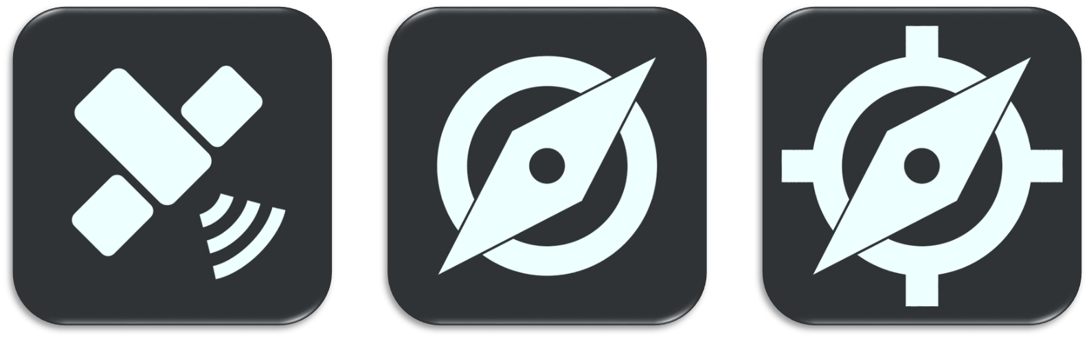
Fig. 6.31 From left to right, the 3 modes of geolocation-based features: Location snapshot, Real-time orientation tracking and First-person view
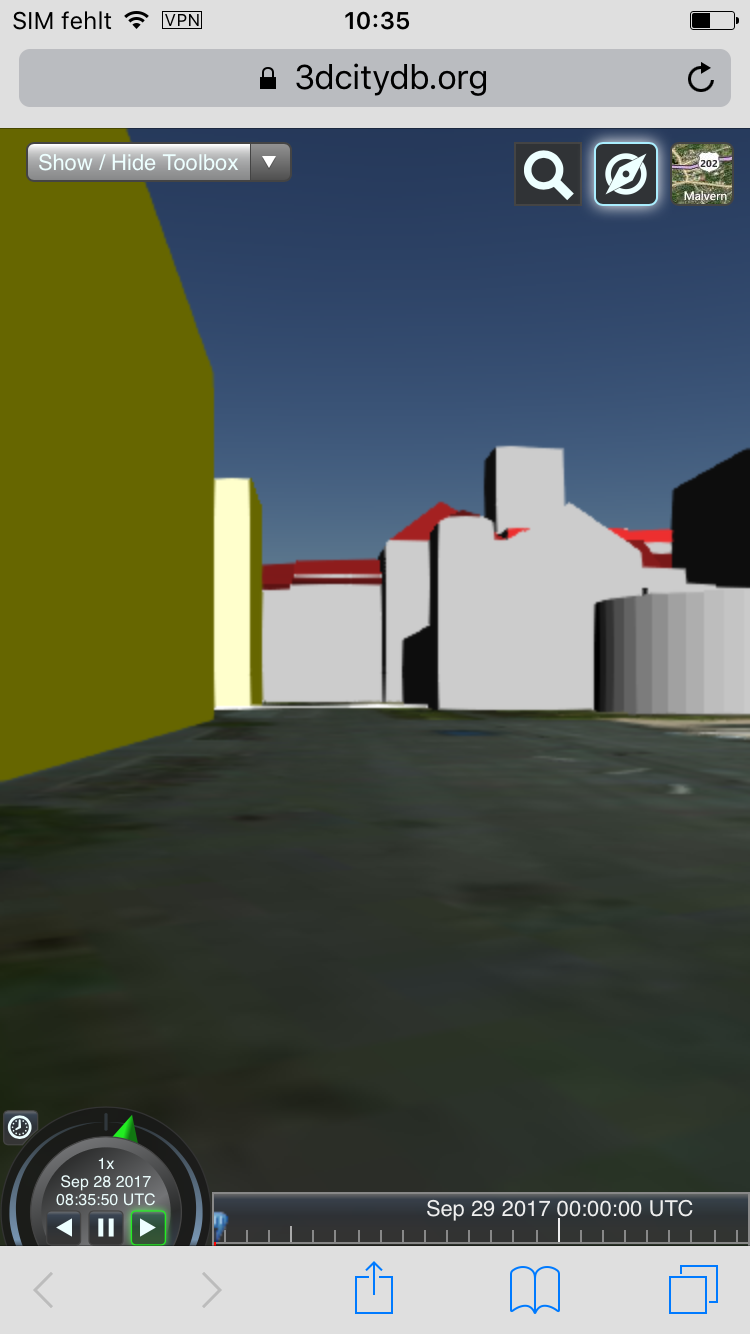
Fig. 6.32 Real-time orientation tracking and First-person View on mobile devices
To disable real-time tracking, simply either click on the button again to return to “snapshot” mode or hold the button for 1 second, the camera will then ascend to a higher altitude of the current location.
Note
The mobile extension makes use of the Geolocation API and the DeviceOrientation API in HTML5. The Geolocation API only works via HTTPS since Google Chrome 50. Therefore, make sure the client is called from a secured page (via SSL/HTTPS). Additionally, permission to retrieve current orientation and location must be granted by the user.